+91 9910402252
admin@chalbanjare.com
| Entry Fee | Free |
| Timings | 06:00 - 18:00 |
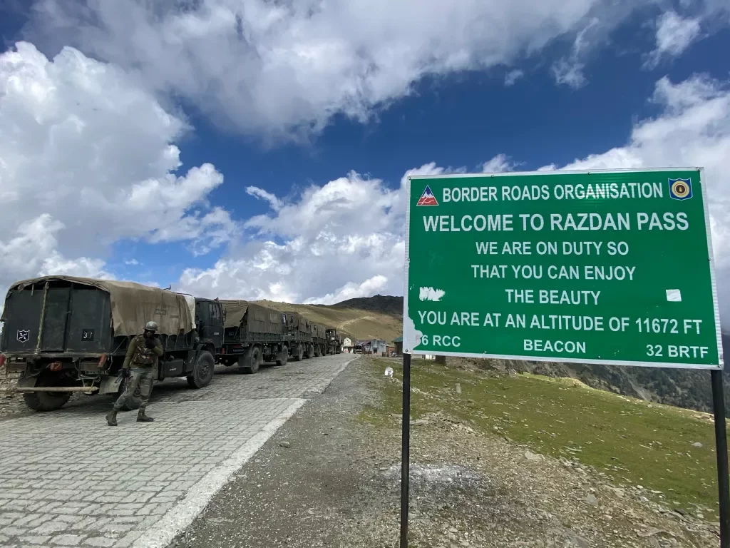
| Altitude (m) | 3130 |
| Ideal Visit Duration (hrs) | 1 |
| Best Time of Day | Morning |
| Crowd Level | Low |
| Distance from Srinagar (km) | 100 |
| Walking Difficulty | Moderate |
| Parking Available | No |
| Last Mile Access | Road |
| Suitable for Kids | No |
| Suitable for Seniors | No |
| Wheelchair Friendly | No |
Visitors come to Razdan Pass to experience a high-altitude mountain pass connecting the Ganderbal and Kishtwar regions, offering dramatic views of snow-covered peaks and alpine terrain. It appeals to travelers seeking remote landscapes and adventure-oriented drives rather than urban attractions.
The on-ground atmosphere is rugged and exposed, with steep slopes, winding roads, and sparse vegetation. Weather can change rapidly, and the pass is often quiet due to limited traffic, enhancing the sense of isolation and high-mountain environment.
What makes Razdan Pass distinct for travelers is its accessibility to untouched Himalayan scenery and strategic vantage points along the route. It suits visitors comfortable with high-altitude travel, looking for panoramic views and off-the-beaten-path experiences rather than facilities or leisure stops.
Razdan Pass has historically served as a high-altitude transit route connecting the Kishtwar region of Jammu and Kashmir with the Kashmir Valley. Its significance stems from facilitating seasonal trade, pastoral movement, and local travel across the Pir Panjal range rather than from settlements or constructed heritage.
For centuries, shepherds and traders used the pass during summer months to move livestock, grains, and other essentials between valleys. Harsh winters made the pass impassable, which preserved its natural terrain and limited permanent habitation along its route.
In modern times, Razdan Pass remains strategically important for regional connectivity and occasional military access. Its historical value is tied primarily to geography and traditional mobility patterns rather than political, cultural, or architectural developments.
Razdan Pass is best visited during the short summer months when snow has melted enough to make the high-altitude route accessible, ensuring safe passage for vehicles and trekking without extreme weather hazards.
 Mountain
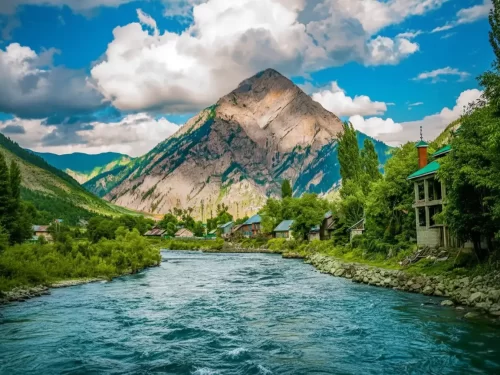
Habba Khatoon is a distinctive pyramid-shaped mountain peak situated at an elevation of approximately 3,962 meters (13,000 feet) in the Dawar region of Gurez Valley.
 Adventure Park
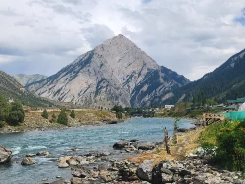
The Kishanganga River, also known as the Neelum River in Pakistan-administered Kashmir, is a significant tributary of the Jhelum River, originating from the high-altitude glaciers near Krishansar Lake and Sonamarg.
 Village
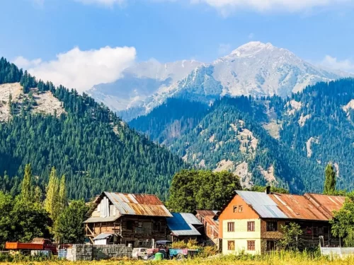
Dawar is the central township and the ancient capital of the Dards, situated at an elevation of approximately 2,400 meters (7,874 feet) along the banks of the Kishanganga River.
Get customized Jammu and Kashmir tour planning designed around seasonal weather patterns, valley travel routes, snow conditions, and realistic hill road timing. Whether you are visiting for scenic landscapes, serene lakes, spiritual journeys, meadow stays
⚡ Quick Response | 💰 Free consultation | 🕒 24×7 expert support

