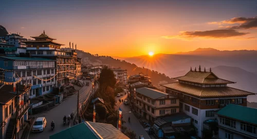
What Makes Meghalaya a Unique Travel Region
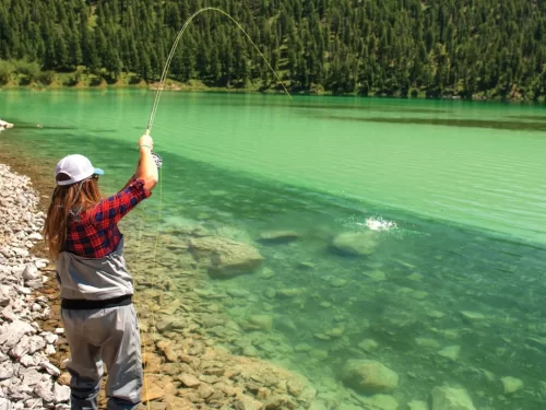
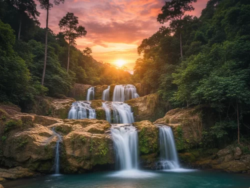
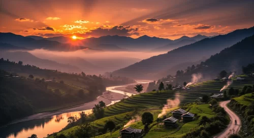
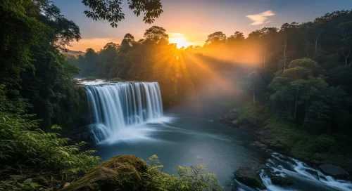
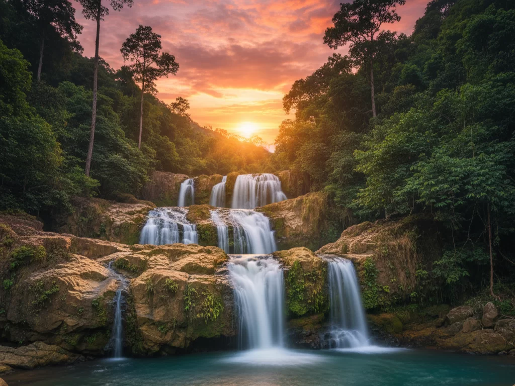
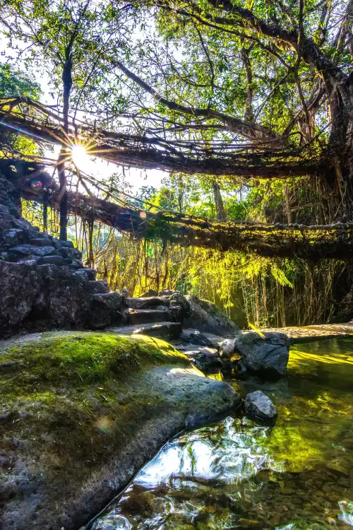
Meghalaya is a high-rainfall plateau state in Northeast India where deep valleys, limestone caves, and living root bridges define the landscape. Unlike Himalayan mountain states, its terrain is shaped by monsoon-fed waterfalls, rolling hills, and dense subtropical forests. Travel here revolves around short but steep hikes, village-based experiences, and weather-dependent exploration. Indigenous Khasi, Jaintia, and Garo cultures remain central to local identity. Meghalaya attracts travelers who appreciate raw natural formations, community-driven tourism, and landscapes shaped dramatically by seasonal rainfall.
- Geography: Elevated plateau with dramatic gorges, waterfalls, caves, and heavy monsoon influence.
- Culture: Indigenous Khasi, Jaintia, and Garo traditions with strong community structures.
- Travel vibe: Nature-intensive, monsoon-shaped, village-connected, and exploration-focused.
- Distinct experience type: Living root bridge treks, cave exploration, waterfall circuits, and monsoon landscape travel.
Popular Tourist Circuits Across Meghalaya
Travel in Meghalaya is structured around plateau towns and deep river valleys connected by winding hill roads. Although distances are not very long, travel time increases due to sharp bends, changing elevations, and frequent fog during monsoon and winter mornings. Heavy rainfall between June and September can affect road conditions and waterfall access. Some rural and border areas may have limited connectivity and basic infrastructure. Travel is best planned region by region over 4 to 6 days, allowing buffer time for weather and realistic day-by-day movement rather than rushed cross-state coverage.
| Circuit Type |
Areas Covered (generic descriptions only, no place names) |
Ideal Duration (realistic and safety based) |
Travel Style |
| Plateau and Waterfall Circuit |
Highland towns, scenic viewpoints, seasonal waterfalls, limestone caves |
3–4 days |
Road-based exploration with short walks and stair descents |
| Living Root Bridge and Valley Circuit |
Deep valleys, forest trails, traditional villages, river crossings |
3–5 days |
Combination of road travel and moderate trekking |
| Rural and Cultural Circuit |
Tribal villages, rolling hills, bamboo settlements, local markets |
3–4 days |
Slow travel with community interaction and short nature walks |
| Cave and Adventure Circuit |
Limestone cave systems, forested terrain, river canyons |
2–4 days |
Guided exploration with physical activity and safety precautions |
| Extended Cross-Region Circuit |
Plateau towns, deep valleys, waterfalls, caves, and border landscapes combined gradually |
6–8 days |
Phased hill journey with buffer days for rainfall or road delays |
Best Time to Travel to Meghalaya
The best time to travel to Meghalaya depends on whether you prefer misty monsoon landscapes, cool winter clarity, or comfortable weather for outdoor exploration.
| Season |
Months |
Weather Conditions |
Travel Suitability |
| Winter |
November to February |
Cool, dry weather with clear skies and pleasant daytime temperatures |
Highly suitable for sightseeing, cave exploration, waterfall visits, and outdoor activities with comfortable humidity levels |
| Spring |
March to April |
Mild temperatures with blooming greenery and occasional light showers |
Ideal for nature experiences and scenic travel with balanced weather conditions |
| Monsoon |
May to September |
Heavy rainfall, lush green landscapes, mist-covered hills, and flowing waterfalls |
Suitable for travelers who enjoy dramatic monsoon scenery and vibrant natural surroundings |
| Autumn |
October |
Refreshing post-rain atmosphere with improving visibility |
Good for visitors seeking fewer crowds and fresh landscapes before the winter peak season |
How Travelers Usually Explore Meghalaya
Travelers usually enter Meghalaya via Guwahati Airport in Assam, followed by a road journey to Shillong, which serves as the primary base for exploration. Some regional flights also operate to Shillong Airport with limited connectivity. From Shillong, visitors move toward Cherrapunji (Sohra), Dawki, Mawlynnong, or the Jaintia Hills depending on the itinerary. Travel pacing is moderate, with short inter-town drives but winding hill roads and weather shifts influencing daily schedules. Most trips are structured as compact regional circuits over four to six days.
- Road Travel: The main mode of transport; private cabs and self-drive vehicles connect Shillong, Sohra, Dawki, and Jowai.
- Rail: No railway network within Meghalaya; Guwahati is the nearest major railhead.
- Local Transport: Shared taxis operate between towns; remote villages often require hired vehicles.
- Day Trips vs Circuits: Sohra and Dawki can be explored as day trips from Shillong, while Jaintia Hills and living root bridge trails require multi-day circuits.
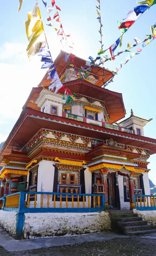
Culture, Food & Everyday Life in Meghalaya
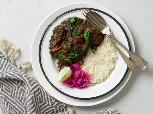
Life in Meghalaya is shaped by heavy rainfall, rolling hills, and dense forests that influence architecture, farming, and daily routines. High humidity and long monsoon periods encourage stilted homes, community farming practices, and strong adaptation to seasonal isolation in some areas. Social behavior reflects matrilineal traditions in several communities, where lineage and inheritance follow the mother’s line, shaping family structure and social roles in visible ways. Food habits are practical and climate-driven — rice remains central, complemented by smoked, fermented, and preserved ingredients suited to damp conditions. The pace of life feels unhurried yet grounded in close-knit community ties; travelers often experience understated warmth, deep respect for nature, and a cultural identity strongly connected to land and rainfall.
- Rain-influenced hill lifestyle
- Matrilineal social structure in many communities
- Smoked and fermented food traditions
- Community-centered, nature-connected pace of life

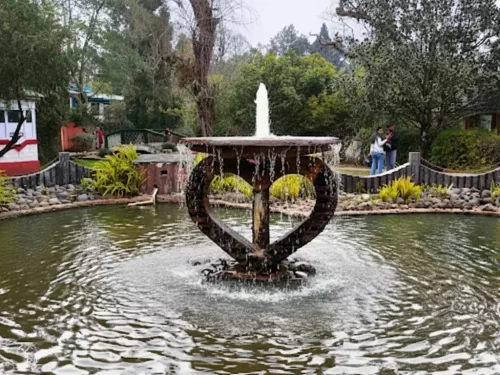 Garden
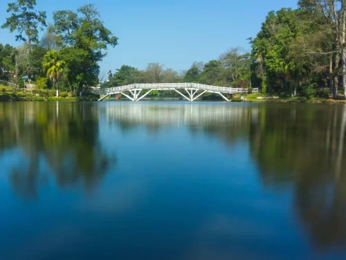 Lake
Lake
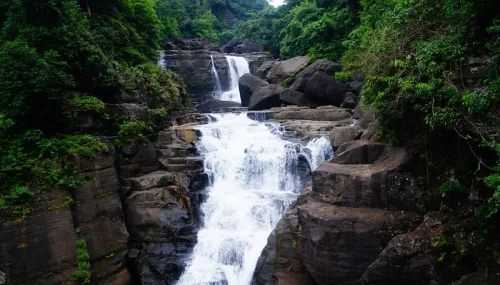 Waterfall